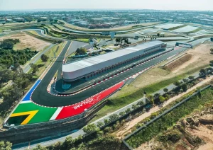
Kyalami Gets One Step Closer to Formula 1 Return
Kyalami Grand Prix Circuit, deep in the heart of Gauteng between Johannesburg and Pretoria, has...
 20 June 2025

Searching...
MapStudio has a range of great wall maps of Africa and we recently got one of the more colourful Africa maps in their range to hoist up on our wall at the Drive South Africa office.
It’s a large coloured-coded wall map of the African continent that shows all the major road routes throughout the country. The main and secondary cities and towns are also plotted on the map – which always comes in handy when we need to put locations and distances into perspective at a glance. Just what we needed.
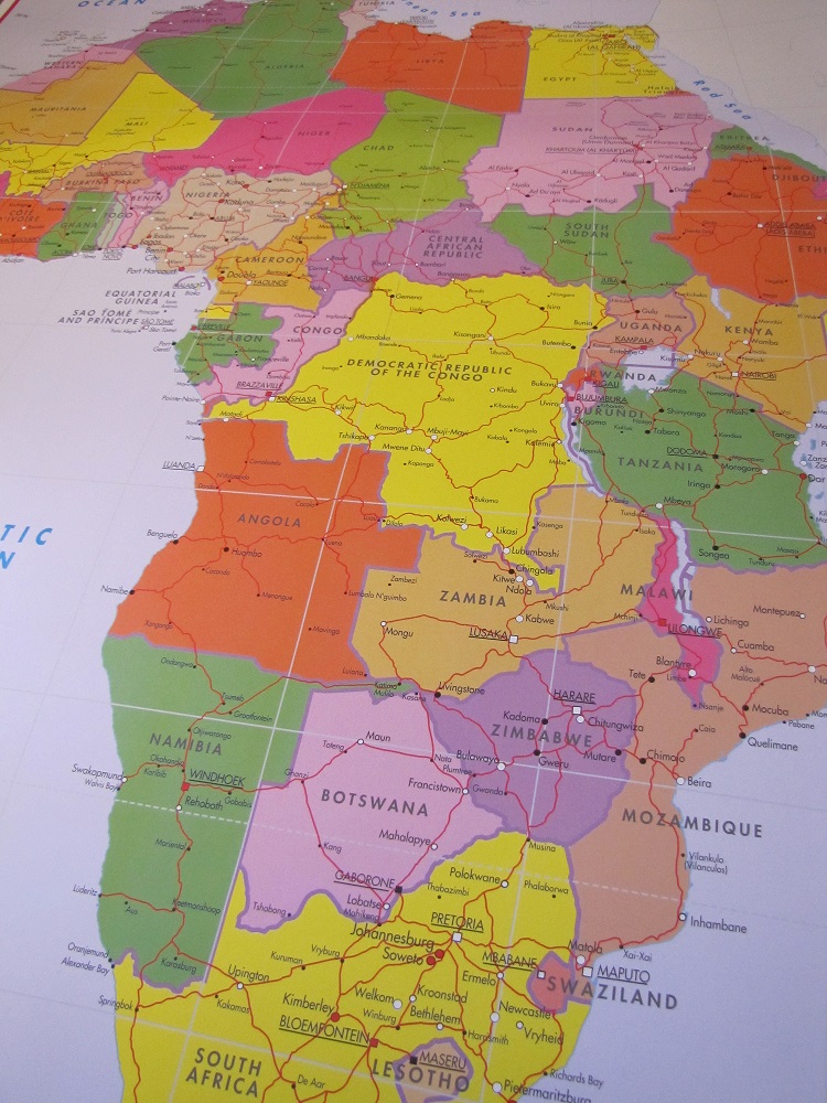
Above: Our MapStudio wall map of Africa
We’re huge lovers of Google Maps, but sometimes it’s actually quicker to look up at a good old fashioned poster map to get an idea of where a client has been, where they’re headed to and where our closest pick-up and drop-off locations are for them.
Our new Africa map is well marked, has all Africa’s top-level geographical information, and with a scale of 1:10 000 000 it’s rather large. The map is 690 x 1000 mm. To put the size of this wall map of Africa into perspective, it’s about as high as a 6-year-old and about as wide as three A4 pieces of paper next to one another. That’s pretty darn big.
Even though we’re using ours in the office, this type of map is great for just about anyone. Businesses, students, parents and even kids.
I remember when I was 12 years old, my Mom bought a massive wall map of Africa and got it laminated (they didn’t make them be as durable as they do nowadays). On the map were every country’s capital, flag, the lines of longitude, latitude and all the oceans. In the evenings my parents played the memory game with my brother and I until we’d learned the whole lot. It’s one of my favourite childhood memories. Good times.
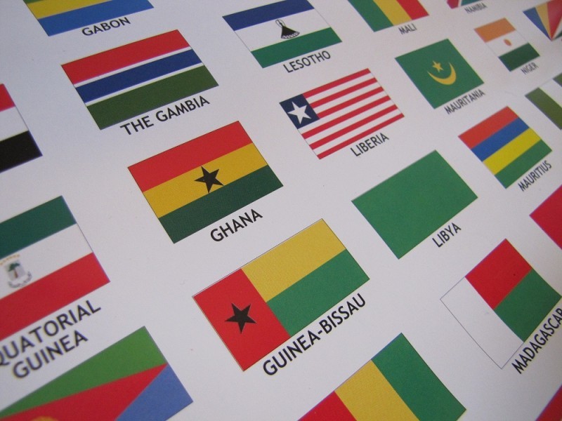
Above: Africa’s many flags are at the bottom of the map of Africa
Learning the flags was my favourite part of the game. That’s probably why my favourite part of this wall map is the bottom strip that contains the flags of Africa’s 54 countries. I also really like the fact that the entire map bursts with colour.
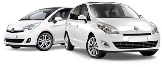
Now you’ve met the latest addition to our Drive South Africa office wall space. We love our new wall map of Africa. Love it. Car rental South Africa which help immensely with getting you from A to B.

Online:
If you’d like to buy one of these colourful wall maps of Africa online, you can do so from MapStudio’s website.
Physical store:
Maps and Travel
Shop ST3A
Rivonia Village Shopping Centre
Rivonia Boulevard
Rivonia, Johannesburg
GPS co-ordinates: 26º03’34.00″S 28º03’37.65″E
Tel: 011 807 5470
Kyalami Grand Prix Circuit, deep in the heart of Gauteng between Johannesburg and Pretoria, has...
20 June 2025 
South African motorists are no strangers to fluctuating fuel prices, but June 2025 brings another...
12 June 2025 
While South Africans can look forward to a marginal decrease in fuel prices in June...
26 May 2025 
Typically responds in under 15 minutes