
Specialist 4x4s vs Standard 4x4s: What’s the Difference?
Planning a self-drive expedition through Southern Africa is a dream for many adventurers. However, when...
 13 March 2026

Searching...
Whether you’re exploring the winding coastal roads of the Garden Route, navigating the rugged tracks of the Kalahari, or cruising through the bustling city streets of Cape Town, having a reliable navigation app is essential for any road trip.
South Africa offers diverse landscapes, varied driving conditions, and many hidden gems that require more than just a good sense of direction. Choosing the right South Africa map app can make your trip smoother, safer, and more enjoyable – especially if you’re in a rental vehicle.
In this guide, we highlight the three best navigation apps in South Africa: Google Maps, Tracks4Africa, and Waze. Each has its strengths, and your choice will depend on where you’re going, what you’re driving, and how off-the-beaten-track you plan to get. Read on to learn more.
GoogleMaps is the world’s most widely used navigation tool | Photo: Sandra Tan vis Unsplash
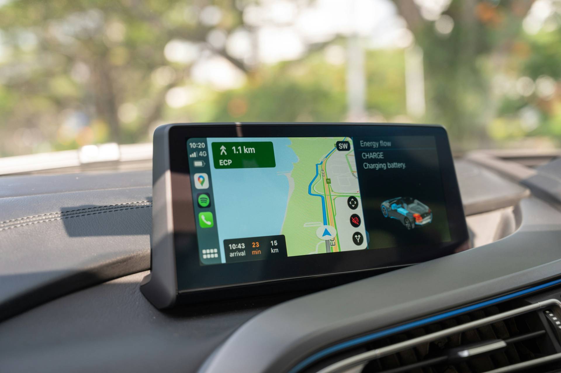
When it comes to finding your way through South Africa’s cities and towns, Google Maps is still the most widely used navigation tool. It’s user-friendly, regularly updated, and comes pre-installed on most Android devices. For general road trips, especially those sticking to the main highways and popular tourist routes, it’s hard to beat.
Google Maps excels in urban areas and well-travelled highways. It’s ideal for self-drive travellers following established routes and needing real-time traffic alerts.
The app struggles with off-road routes and lesser-known rural tracks, particularly in national parks or private reserves. While it’s improving, it may misjudge road conditions in remote areas.
Tracks4Africa compiles data from actual travel experiences | Photo: Bert B via Unsplash
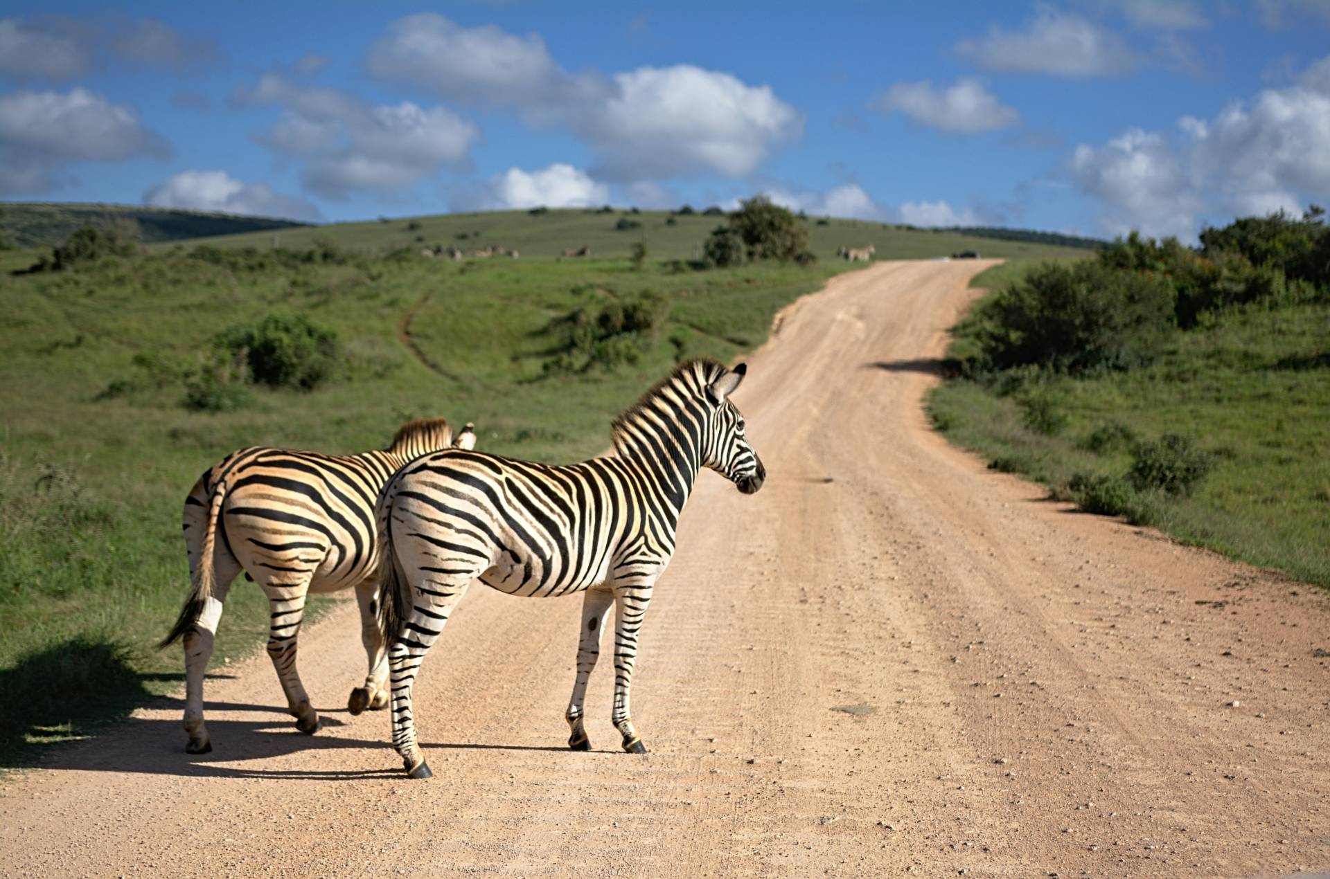
If you’re venturing into South Africa’s national parks, 4×4 trails, or remote wilderness areas, Tracks4Africa is the go-to app. Developed by overland travellers, it’s designed for those who drive beyond the reach of standard mapping tools.
Tracks4Africa shines on off-road adventures and long-haul trips into remote areas, where standard navigation tools may fail. It’s the perfect companion for 4×4 hire travellers heading into the Kgalagadi, the Drakensberg, or the Namakwa Eco Trail.
The interface is less polished than Google Maps or Waze, and it’s a paid app, which may deter casual users. However, the value for serious explorers is undeniable.

Waze stands out with its real-time, community-driven traffic updates | Photo: Brett Jordan via Unsplash
Waze stands out with its real-time, community-driven traffic updates. It’s a smart choice for navigating traffic-heavy areas such as Johannesburg, Durban, and Pretoria. Waze’s power lies in its ability to adapt quickly based on road conditions reported by fellow drivers.
Waze is ideal for urban travel and daily commuting, especially in congested city environments. It’s also helpful for weekend getaways where you’re navigating busy roads and need to avoid peak-time traffic.
Waze’s reliance on user input can be a drawback in rural or low-traffic areas where fewer users mean fewer updates. It also needs a constant internet connection for optimal performance.
Each of these apps brings unique strengths depending on your destination, travel style, and connectivity. Here’s a quick breakdown to help you decide:
| App | Best For | Offline Capability | Real-Time Traffic | Off-Road Mapping |
|
|
|
|
|
|
|
|
|
|
|
|
|
|
|
If your journey takes you through South Africa’s national parks, gravel roads, or off-grid campsites, Tracks4Africa is your most reliable navigation companion. For everyday travel and longer tarred-road trips, Google Maps offers solid performance and widespread use. In cities and towns with high traffic volumes, Waze’s community-driven updates can save time and reduce frustration.

Many of our rental vehicles offer the option to hire a GPS unit for an additional daily fee | Photo: Takahiro Taguchi
While navigation apps like Google Maps, Tracks4Africa, and Waze offer excellent functionality for most self-drive trips, some travellers prefer the simplicity and reliability of a dedicated GPS unit – especially when venturing into areas with limited mobile signal or when trying to conserve phone battery life on long drives. At Drive South Africa, we understand that digital preferences vary. That’s why many of our rental vehicles offer the option to hire a GPS unit for an additional daily fee.
When booking your car or 4×4 rental on Drive South Africa’s website, you can add a GPS unit to your booking during checkout. If you’ve already made a reservation and want to include one afterwards, simply contact our customer support team, and they’ll add it to your rental agreement.
A small daily rental fee applies, and availability may vary depending on your pickup location, so we recommend booking your GPS in advance to avoid disappointment.
Drive South Africa has the perfect hire vehicle for your needs | Photo: Martijn Vonk via Unsplash
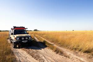
A reliable South Africa map app is just one tool in your travel toolkit. Equally important is choosing the right vehicle for your route. Whether you’re cruising the Winelands in a compact hatchback, exploring Mpumalanga’s mountain passes in an SUV, or tackling desert roads in a fully equipped 4×4, Drive South Africa has the perfect hire vehicle for your needs.
Ready to hit the road? Browse our wide selection of cars and 4x4s, and start planning your ultimate self-drive adventure through South Africa. With the right wheels and the best navigation apps, the road ahead is yours to explore.
Planning a self-drive expedition through Southern Africa is a dream for many adventurers. However, when...
13 March 2026 
For decades, the Kruger National Park has stood as the crown jewel of African conservation...
23 February 2026 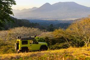
Venturing into the wild heart of Southern Africa in a 4×4 rental is an experience...
13 February 2026 


Typically responds in under 15 minutes